
Footways helps cities plan for walking — and makes maps to bring networks to life

We develop networks of quiet, enjoyable walking routes.
We turn these networks into beautiful digital and printed maps.
And help cities focus investment where it matters most.

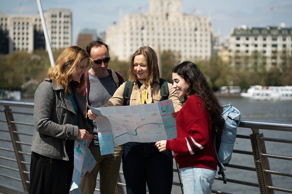
Pick up a printed map

Follow on your phone

Self-guided walks
Westminster Footways
We’ve just launched a beautifully illustrated printed map of Westminster, created in collaboration with Westminster City Council. It’s free to pick up in local libraries now. More information here

Hackney Central Footways
Explore the borough using our feature-filled digital map. And tell us about your favourite points of interest, so we can add them to the map.
Or buy the beautiful printed map from our shop or at Stanfords in Central London.
Rail & Heritage Loop
We partnered with Buro Happold to create a new circular walking route for London. It links London’s largest stations and seeks out engineering marvels so you can see the value of STEM in shaping our world. More here.
