


Defy the transport algorithm with this beautiful printed map.
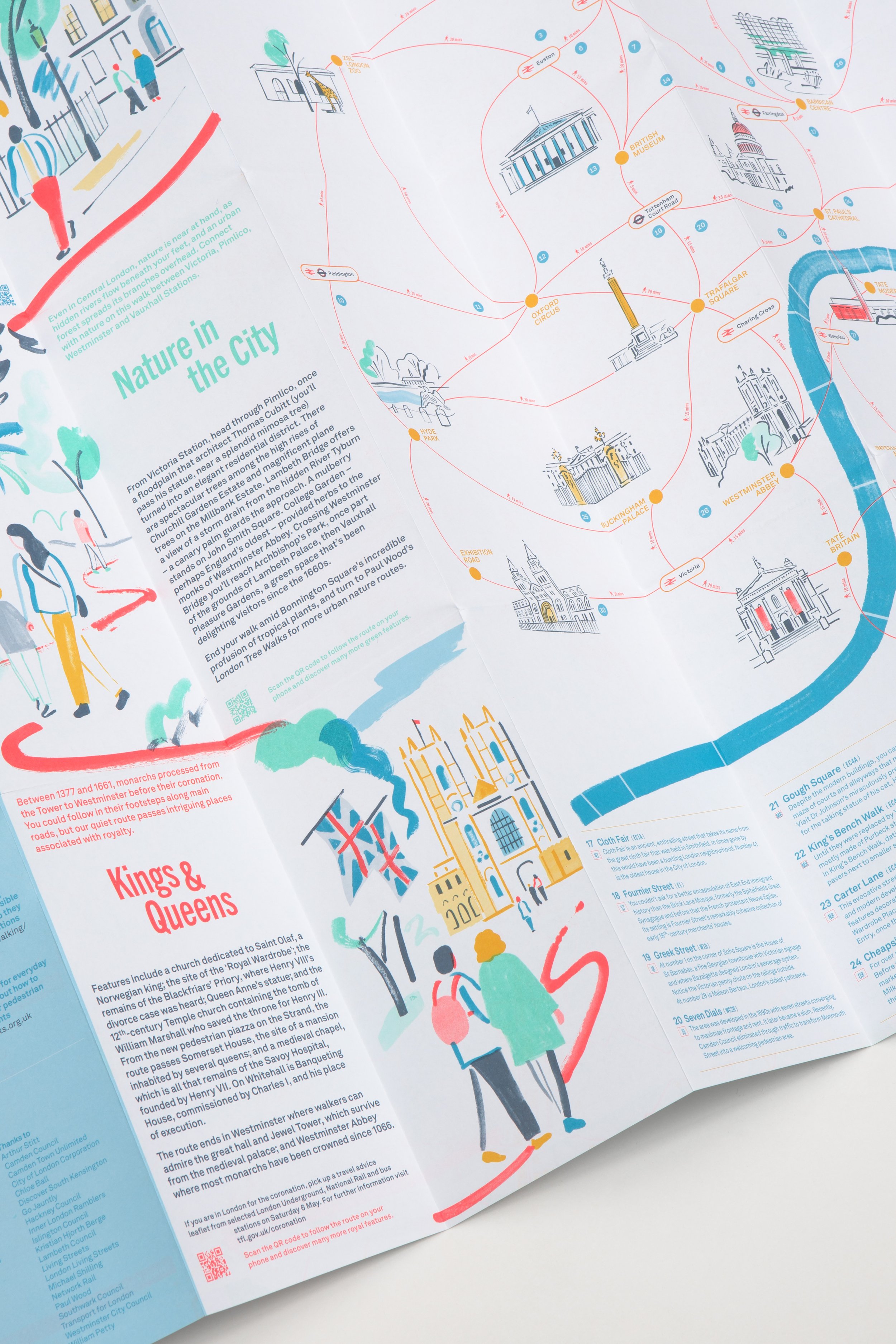
Central London Footways is the first of its kind, revealing the capital as connected for people on foot. The Footways team spent more than three years developing the network, connecting major places with quiet and interesting streets. The places include mainline train stations, popular destinations and green spaces. The back of the map shows all sorts of intriguing features you can enjoy as you walk.
The map itself was designed by Applied Information, the back by Studio Bergini, with illustrations by Hannah Robinson.
Printed in five special Pantone inks, on 100gsm paper and folded to 198mm × 105mm × 5mm this A1 map is a design treat!
Defy the transport algorithm with this beautiful printed map.
Central London Footways is the first of its kind, revealing the capital as connected for people on foot. The Footways team spent more than three years developing the network, connecting major places with quiet and interesting streets. The places include mainline train stations, popular destinations and green spaces. The back of the map shows all sorts of intriguing features you can enjoy as you walk.
The map itself was designed by Applied Information, the back by Studio Bergini, with illustrations by Hannah Robinson.
Printed in five special Pantone inks, on 100gsm paper and folded to 198mm × 105mm × 5mm this A1 map is a design treat!